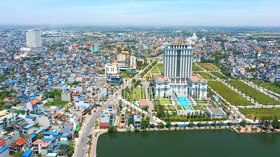
Maritime Port Waters within the boundaries of Nam Dinh Province
On August 20, 2018, the Ministry of Transport of Vietnam promulgated Circular 46/2018/TT-BGTVT announcing the maritime port waters within the boundaries of Nam Dinh province and the management area of the Nam Dinh Maritime Port Authority.
According to Circular 46, the maritime port waters within the boundaries of Nam Dinh province is calculated based on the highest tidal water level. To be specific:
1. Boundary towards the sea is limited by straight lines connecting sequentially points A1, A2, A3, A4, and A5 with the following coordinates:
- A1: 20°01’00”N, 106°12’32.65”E;
- A2: 20°01’00”N, 106°16’53”E;
- A3: 19°55’04”N, 106°16’53”E;
- A4: 19°55’04”N, 106°09’53”E;
- A5: 19°57’38.5”N, 106°09’53”E.
2. Boundary towards the mainland is limited from points A1 and A5 along both banks of the Ninh Co River to the straight line crossing the river at the foot of Chau Thinh bridge towards downstream, belongs to Thinh Long commune-level town, Hai Hau district.
3. The boundary of the port waters stipulated in this Circular is determined on nautical chart No. VN50010 issued by Northern Maritime Safety Corporation in 2015. The coordinates of the points specified in this Circular are applied according to the VN-2000 Coordinate System and converted to the WGS-84 Coordinate System as follows:
| Position | VN-2000 System | WGS-84 System | ||
| Latitude (N) | Longitude (E) | Latitude (N) | Longitude (E) | |
| A1 | 20°01’00” | 106°12’32.65” | 20°00’56.42” | 106°12’39.40” |
| A2 | 20°01’00” | 106°16’53” | 20°00’56.42” | 106°16’59.75” |
| A3 | 19°55’04” | 106°16’53” | 19°55’00.42” | 106°16’59.75” |
| A4 | 19°55’04” | 106°09’53” | 19°55’00.42” | 106°09’59.75” |
| A5 | 19°57’38.5” | 106°09’53” | 19°57’34.9” | 106°09’59.75” |
Refer to Circular 46/2018/TT-BGTVT which took effect on October 15, 2018, replacing Decision 17/2008/QD-BGTVT.
- Thanh Lam -
- Key word:
- Maritime Port Waters
- Nam Dinh Province
- Number of deputy directors of departments in Vietnam in accordance with Decree 45/2025/ND-CP
- Cases ineligible for pardon in Vietnam in 2025
- Decree 50/2025 amending Decree 151/2017 on the management of public assets in Vietnam
- Circular 07/2025 amending Circular 02/2022 on the Law on Environmental Protection in Vietnam
- Adjustment to the organizational structure of the Ministry of Health of Vietnam: Certain agencies are no longer listed in the organizational structure
- Vietnam aims to welcome 22-23 million international tourists in Vietnam in 2025
-

- Announcement of the schedule for Lunar New Year ...
- 10:33, 08/01/2025
-

- Establishment of Quy Nhat Commune-Level Town under ...
- 23:42, 09/07/2024
-

- Notable new policies of Vietnam effective as of ...
- 16:26, 11/04/2025
-
.Medium.png)
- Notable documents of Vietnam in the previous week ...
- 16:21, 11/04/2025
-
.Medium.png)
- Notable documents of Vietnam in the previous week ...
- 16:11, 02/04/2025
-
.Medium.png)
- Notable new policies of Vietnam to be effective ...
- 16:04, 02/04/2025
-
.Medium.png)
- Notable new policies of Vietnam effective from ...
- 14:51, 21/03/2025
 Article table of contents
