Líst of district-level administrative units in Ba Ria - Vung Tau province in Vietnam
On August 26, 2016, the Ministry of Natural Resources and Environment of Vietnam issued Circular 22/2016/TT-BTNMT on the List of residential, topographic, hydrographic, and socio-economic place names for the purpose of establishing the mainland map of Ba Ria - Vung Tau province.
 Article table of contents
According to the provisions of Circular 22/2016/TT-BTNMT, Ba Ria - Vung Tau province has the following district-level administrative units:
| No | District-level administrative unit |
| 1 | Ba Ria City |
| 2 | Vung Tau City |
| 3 | Chau Duc District |
| 4 | Dat Do District |
| 5 | Long Dien District |
| 6 | Tan Thanh District |
| 7 | Xuyen Moc District |
Also according to Circular 22, the list of residential, geographical, hydrographic, socio-economic names serving the work of creating maps for the mainland part of Ba Ria - Vung Tau province is arranged in alphabetical order of Vietnamese characters of district-level administrative units including cities and districts, in which:
- The "Location" column includes standardized locations.
- The "Object Group" column provides symbols for location groups, in which: DC represents the residential group; SV represents the geographical group; TV represents the hydrographic group; KX represents the socio-economic group.
- The "Commune-level Administrative Unit Name" column refers to the names of commune-level administrative units, in which: "P." is the abbreviation for "ward"; "TT." is the abbreviation for "commune-level town".
- The "District-level Administrative Unit Name" column refers to the names of district-level administrative units, in which: "TP." is the abbreviation for "city"; "H." is the abbreviation for "district".- …
More details can be found in Circular 22/2016/TT-BTNMT which took effect on October 18, 2016.
- Thanh Lam -
- Number of deputy directors of departments in Vietnam in accordance with Decree 45/2025/ND-CP
- Cases ineligible for pardon in Vietnam in 2025
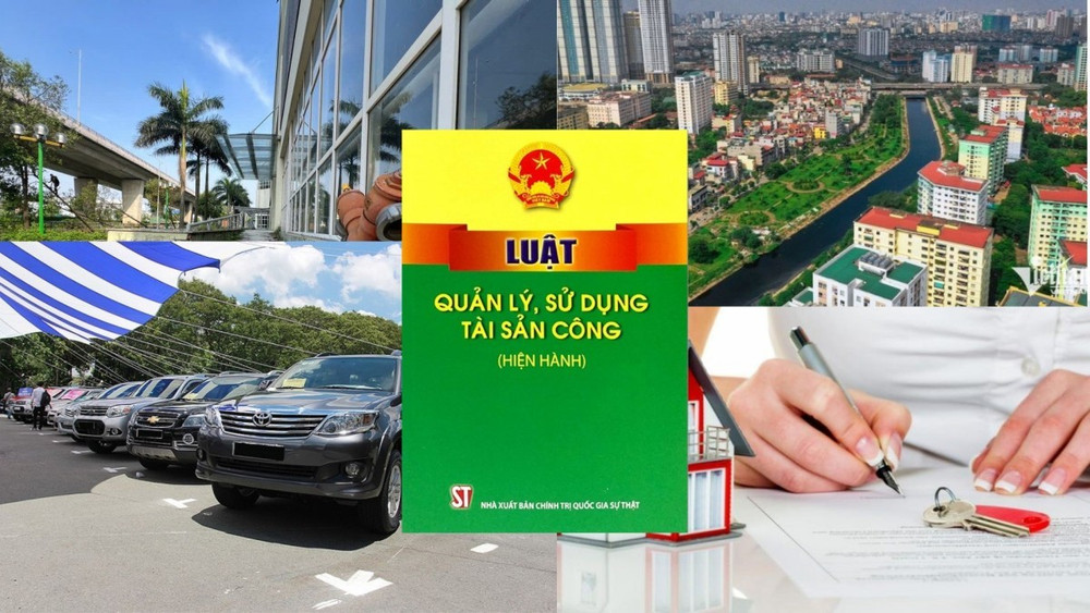
- Decree 50/2025 amending Decree 151/2017 on the management of public assets in Vietnam
- Circular 07/2025 amending Circular 02/2022 on the Law on Environmental Protection in Vietnam
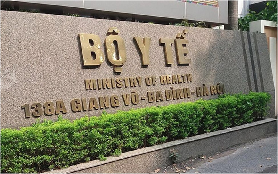
- Adjustment to the organizational structure of the Ministry of Health of Vietnam: Certain agencies are no longer listed in the organizational structure
- Vietnam aims to welcome 22-23 million international tourists in Vietnam in 2025
-

- Number of deputy directors of departments in Vietnam ...
- 15:04, 05/03/2025
-

- Cases ineligible for pardon in Vietnam in 2025
- 14:43, 05/03/2025
-
- Decree 50/2025 amending Decree 151/2017 on the ...
- 12:00, 05/03/2025
-

- Circular 07/2025 amending Circular 02/2022 on ...
- 11:30, 05/03/2025
-
- Adjustment to the organizational structure of ...
- 10:34, 05/03/2025
-

- Notable new policies of Vietnam effective as of ...
- 16:26, 11/04/2025
-
.Medium.png)
- Notable documents of Vietnam in the previous week ...
- 16:21, 11/04/2025
-
.Medium.png)
- Notable documents of Vietnam in the previous week ...
- 16:11, 02/04/2025
-
.Medium.png)
- Notable new policies of Vietnam to be effective ...
- 16:04, 02/04/2025
-
.Medium.png)
- Notable new policies of Vietnam effective from ...
- 14:51, 21/03/2025