Circular 18: Regulations on the scope of sea port waters in Ho Chi Minh City, Vietnam
This is an important provision stipulated in Circular 18/2020/TT-BGTVT regarding the announcement of sea port waters within the territory of Ho Chi Minh City, Long An Province, Tien Giang Province, and the management area of the Ho Chi Minh City Maritime Administration, issued by the Ministry of Transport of Vietnam, effective from October 1, 2020.
 Article table of contents

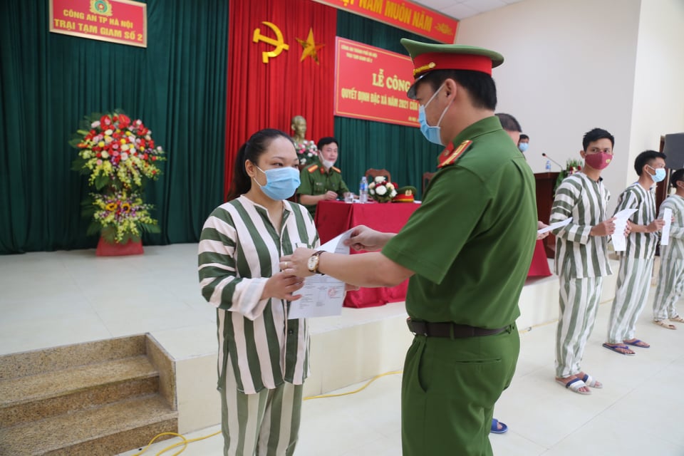
Circular 18: Regulations on the scope of sea port waters in Ho Chi Minh City, Vietnam (Illustrative Image)
According to Article 2 of Circular 18/2020/TT-BGTVT, the scope of the water area of the seaport located in Ho Chi Minh City, Vietnam is regulated as follows:
- The scope of the water area of Ho Chi Minh City seaport in the Ganh Rai Bay area is defined as follows: From the meridian 106°58'12" E (which is the boundary with the water area of seaports in Ba Ria - Vung Tau province), running along the coastline of Can Gio district and the coast of Phu Loi islet to the farthest two points of the Nga Bay river mouth.
- The scope of the water area of Ho Chi Minh City seaport in the Dong Tranh Bay area and the Soai Rap river mouth area is defined as follows: The straight segments connecting the points HCM1, HCM2, HCM3, HCM4, and HCM5 with the following coordinates:
- HCM1: 10°25’10” N, 106°58’12” E (Can Gio Cape);
- HCM2: 10°24’00” N, 107°00’00” E;
- HCM3: 10°15'00" N, 107°00'00" E;
- HCM4: 10°15'00" N, 106°49'30" E;
- HCM5: 10°16’07” N, 106°45’20” E.
- The scope of the water area of Ho Chi Minh City seaport on Nga Bay river, Long Tau river, Nha Be river, Dua river, Tac Dinh Cau river, and Tac Roi creek is defined as follows:
- From the farthest two points of the Nga Bay river mouth, running along the two banks of the Nga Bay river, Long Tau river, and Nha Be river to Den Do Cape.
- From the farthest two points of the Dua river mouth (at the confluence of Dua river and Nga Bay river), running along the two banks of Dua river to the confluence of Dua river and Tac Dinh Cau river, running along the two banks of Tac Dinh Cau river, and Tac Roi creek (from the confluence of Tac Dinh Cau river and Tac Roi creek to the confluence of Tac Roi creek and Long Tau river).
- The scope of the water area of Ho Chi Minh City seaport on Dong Tranh river, Go Gia river, Tac Ong Cu river, Tac Bai river, and Tac Cua river is defined as follows: From the farthest two points of the Go Gia river mouth (at the confluence of Go Gia river, Cai Mep river, and Thi Vai river), running along the two banks of Go Gia river to the upstream boundary along the parallel 10°35'00" N (at the confluence of Go Gia river, Ba Gioi river, and Tac Cua river), and running along the two banks of Tac Ong Cu river, Tac Bai river, and Tac Cua river to the confluence of Tac Ong Cu river and Dong Tranh river and the entire Dong Tranh river.
- The scope of the water area of Ho Chi Minh City seaport on the Dong Nai river is defined as follows: From the confluence of Dong Nai river, Nha Be river, and Sai Gon river (Den Do Cape), running along the two banks of Dong Nai river to the straight line crossing the confluence of Dong Nai river from the farthest two points of Tac Thay Bay creek (Ong Con islet) and Long Truong commune. The boundary between Dong Nai river and Sau river is a straight line crossing Sau river, defined by the straight line connecting two points with coordinates (HCM6: 10°46’06.69” N, 106°48’22.52” E and HCM7: 10°45’46.53” N, 106°48’22.11” E).
- The scope of the water area of Ho Chi Minh City seaport on the Sai Gon river is defined as follows: From the confluence of Sai Gon river, Nha Be river, and Dong Nai river (Den Do Cape), running along the two banks of Sai Gon river to the straight line crossing the river at the downstream edge of Ben Nghe creek.
More details can be found in Circular 18/2020/TT-BGTVT, issued on August 14, 2020.
Thuy Tram
- Key word:
- port waters
- Vietnam
- Number of deputy directors of departments in Vietnam in accordance with Decree 45/2025/ND-CP
- Cases ineligible for pardon in Vietnam in 2025
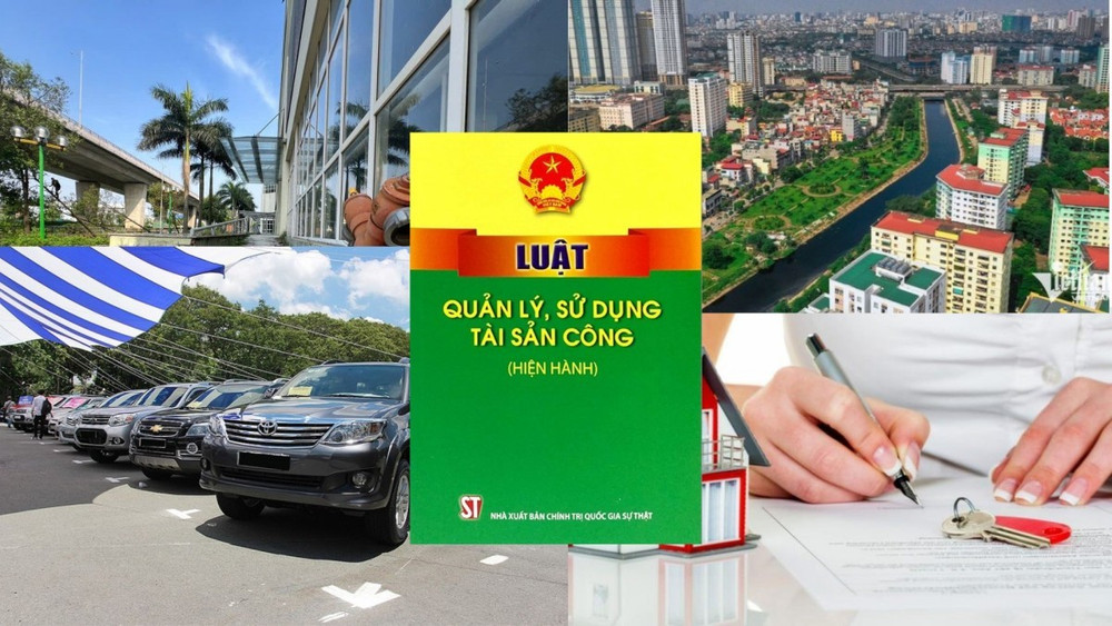
- Decree 50/2025 amending Decree 151/2017 on the management of public assets in Vietnam
- Circular 07/2025 amending Circular 02/2022 on the Law on Environmental Protection in Vietnam
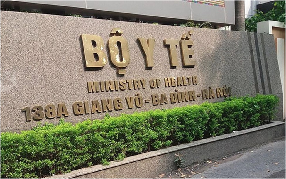
- Adjustment to the organizational structure of the Ministry of Health of Vietnam: Certain agencies are no longer listed in the organizational structure
- Vietnam aims to welcome 22-23 million international tourists in Vietnam in 2025
-

- Number of deputy directors of departments in Vietnam ...
- 15:04, 05/03/2025
-
- Cases ineligible for pardon in Vietnam in 2025
- 14:43, 05/03/2025
-
- Decree 50/2025 amending Decree 151/2017 on the ...
- 12:00, 05/03/2025
-

- Circular 07/2025 amending Circular 02/2022 on ...
- 11:30, 05/03/2025
-
- Adjustment to the organizational structure of ...
- 10:34, 05/03/2025
-

- Notable new policies of Vietnam effective as of ...
- 16:26, 11/04/2025
-
.Medium.png)
- Notable documents of Vietnam in the previous week ...
- 16:21, 11/04/2025
-
.Medium.png)
- Notable documents of Vietnam in the previous week ...
- 16:11, 02/04/2025
-
.Medium.png)
- Notable new policies of Vietnam to be effective ...
- 16:04, 02/04/2025
-
.Medium.png)
- Notable new policies of Vietnam effective from ...
- 14:51, 21/03/2025